Log in
All resources
Create a design
Tools
7,171 Free Images of Atlas Map
maps
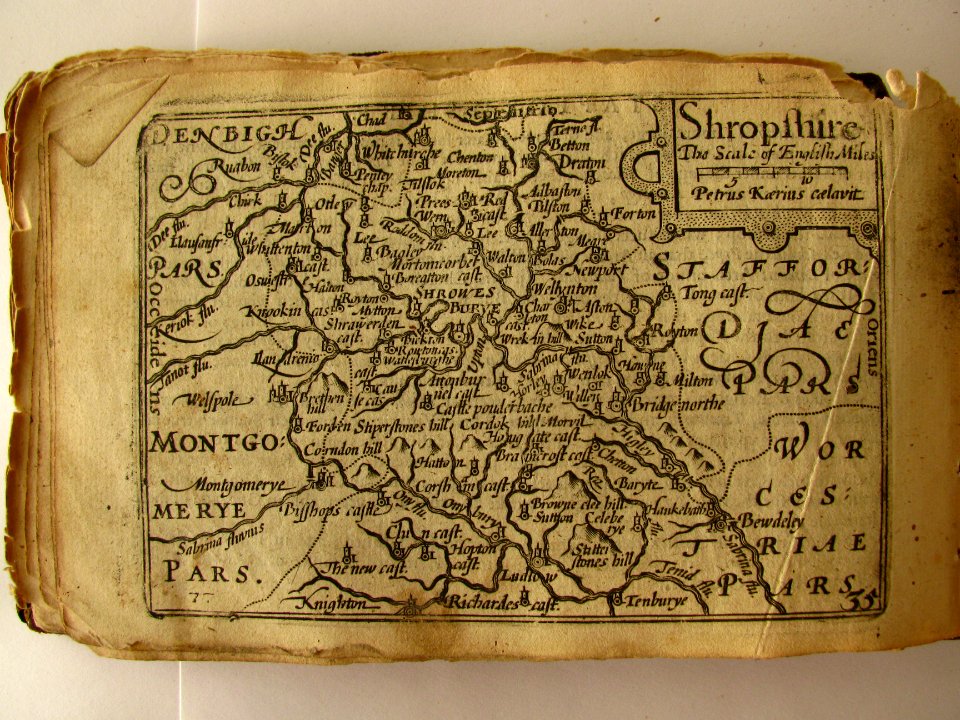
pieter van der keere
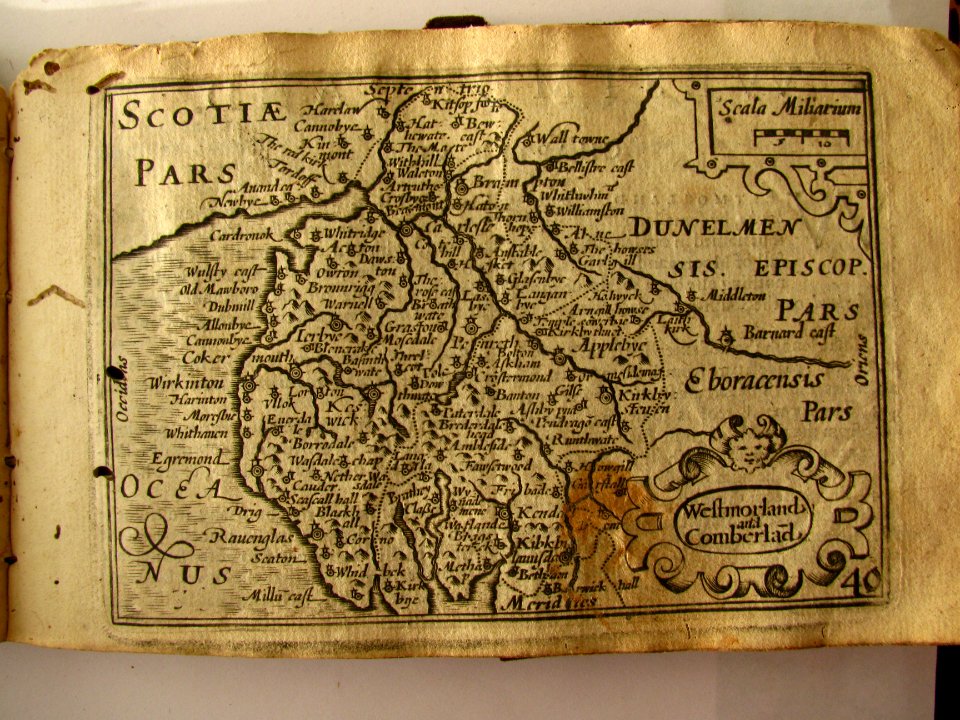
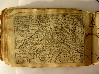
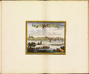
miniature speed atlas (1627) pieter van den keere
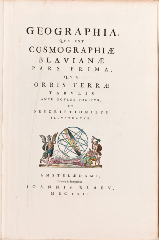
atlas novus (blaeu)
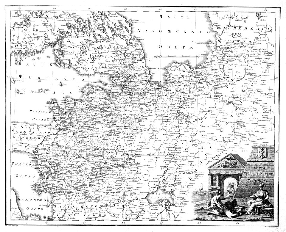
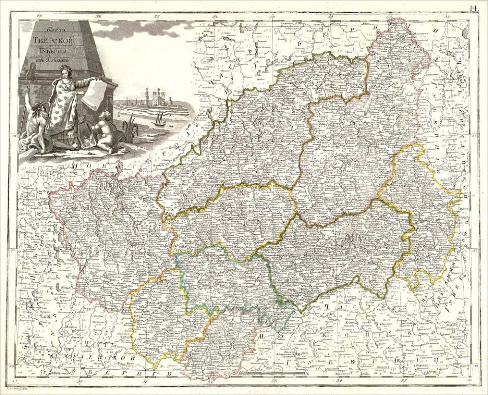
atlas of the russian empire (1800)
western europe
maps in the library of congress
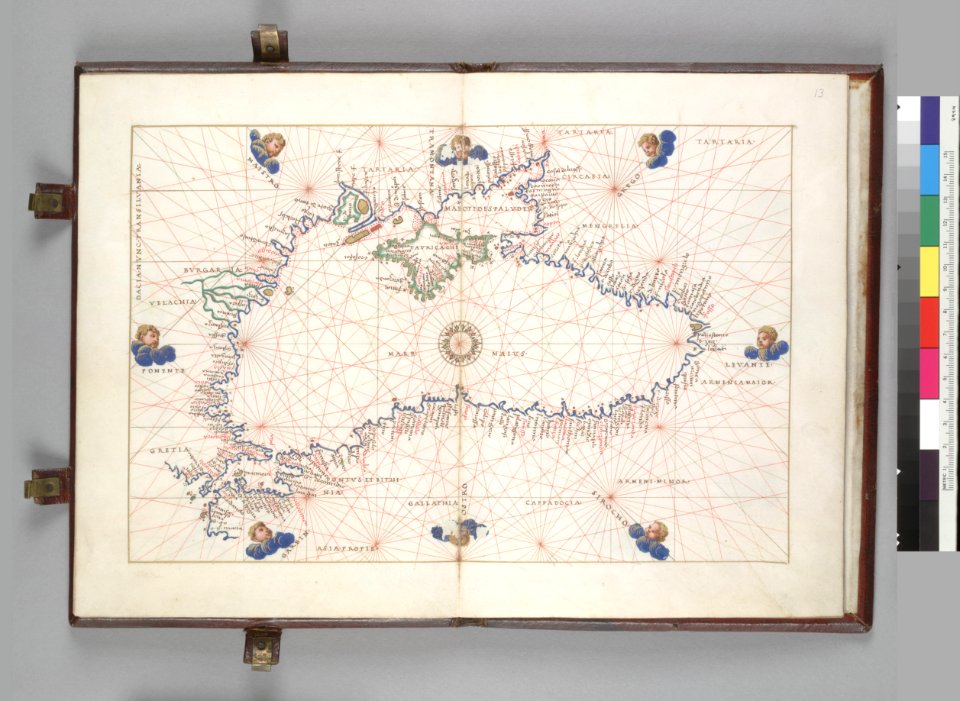
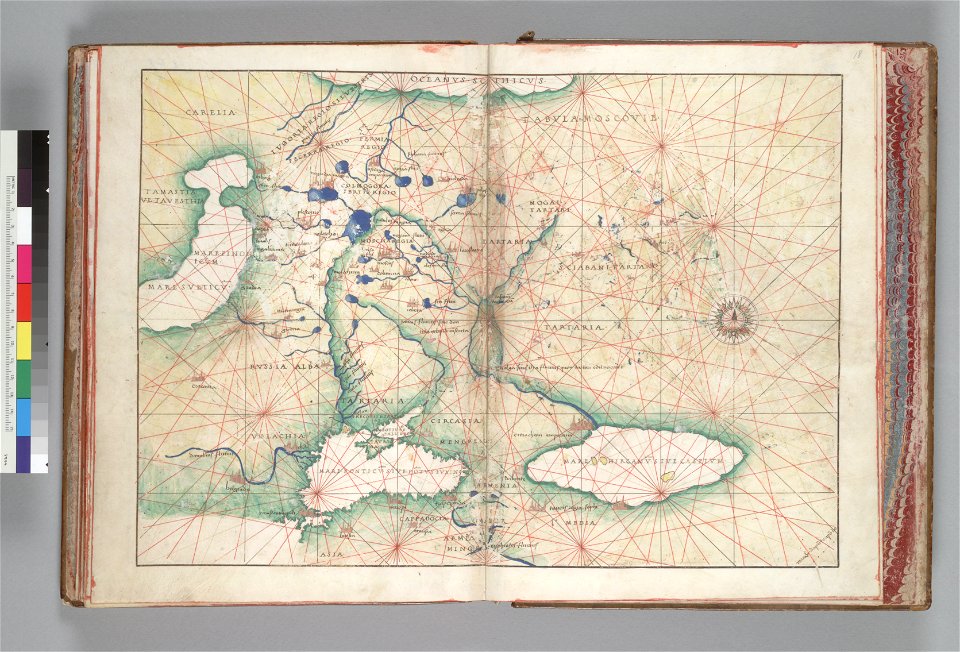
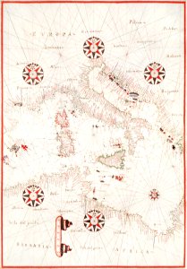
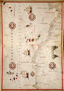
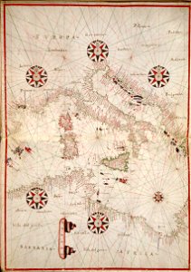
portolan atlas of the mediterranean sea
and the northwest coast of africa
atlas de wit 1698
miniature speed atlas (1627) pieter van den keere
pieter van der keere
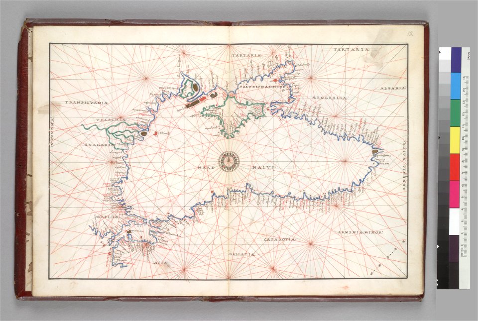
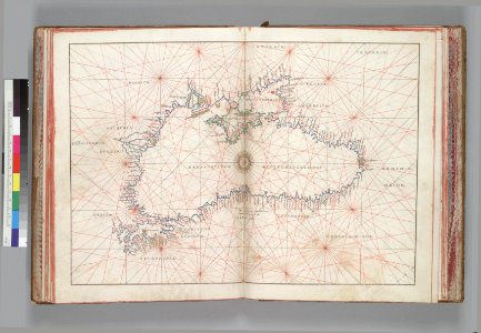
16th-century maps of the black sea
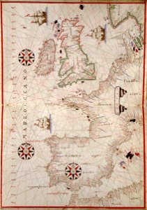
battista agnese
old maps of jordan
catalan atlas
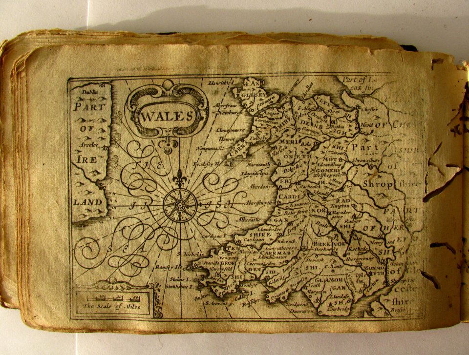
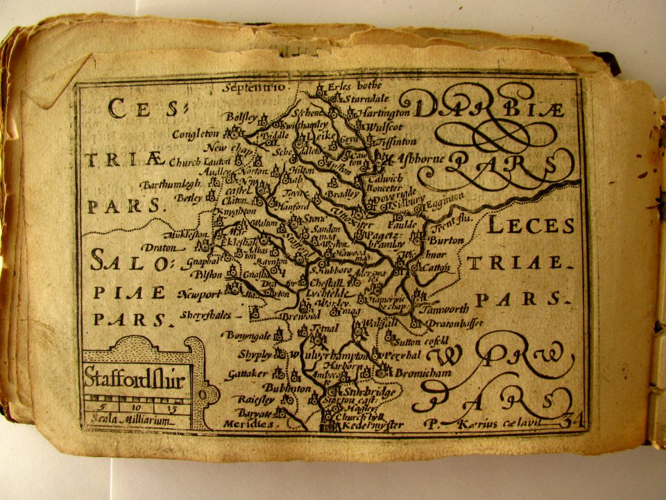
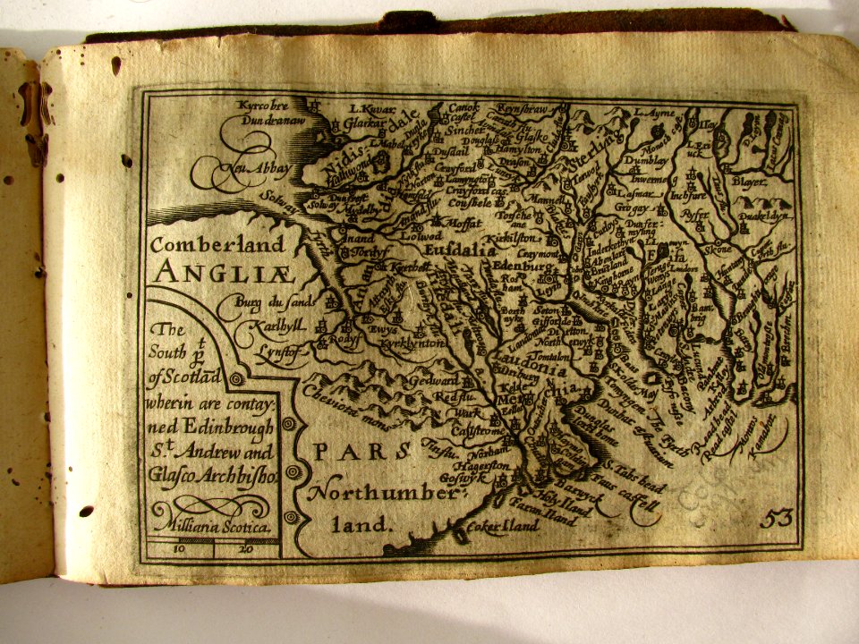
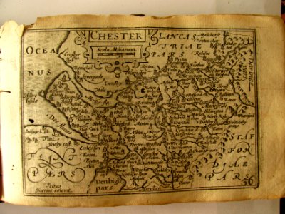
miniature speed atlas (1627) pieter van den keere
pieter van der keere
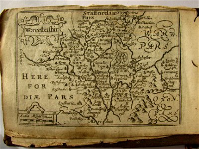
miniature speed atlas (1627) pieter van den keere
pieter van der keere
16th-century maps of the black sea
battista agnese
atlas van der hagen
copper engraving
maps
sea
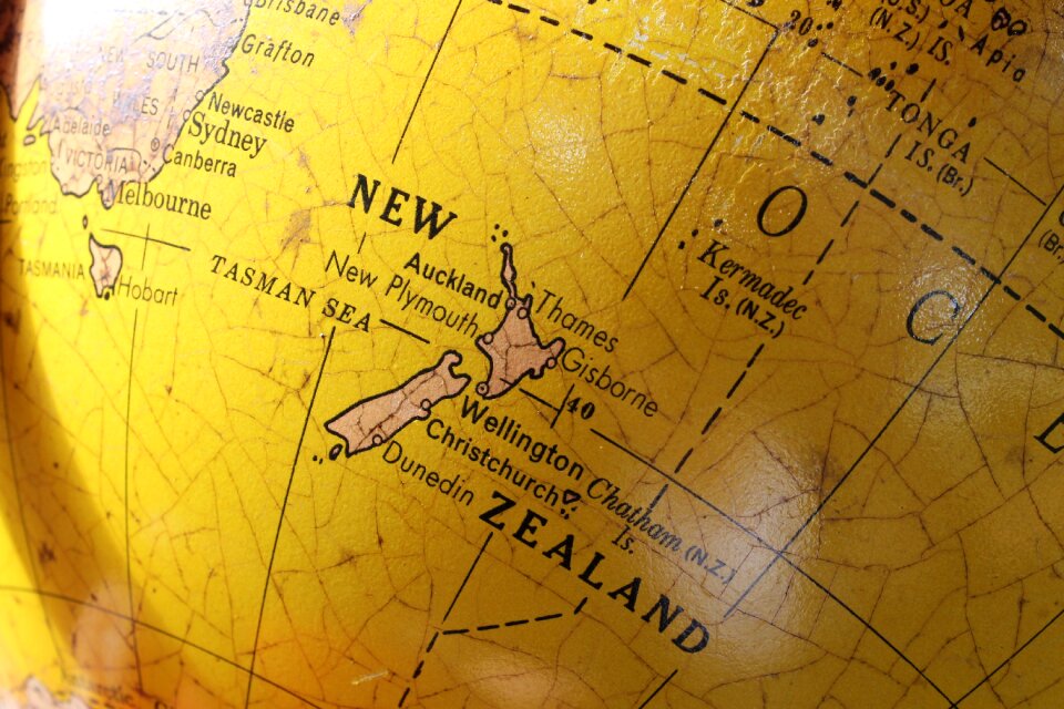
australia
maps
illustration
maps
16th-century maps of the black sea
battista agnese
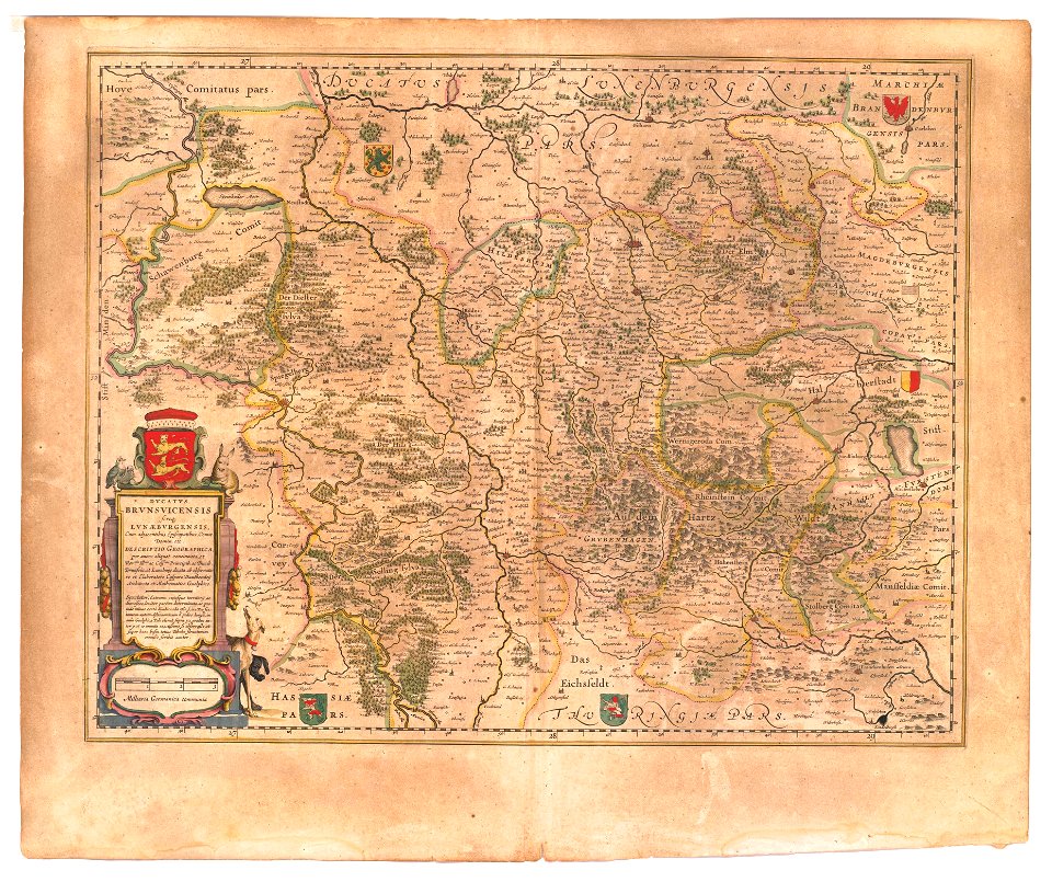
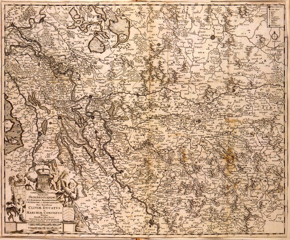
maps of the principality of brunswick-wolfenbüttel
coats of arms on maps
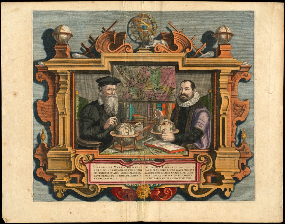
people with globes in art
1628 maps
maps by willem and johannes blaeu
ravelins
illustration
maps
atlas de wit 1698
frederick de wit
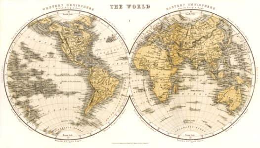
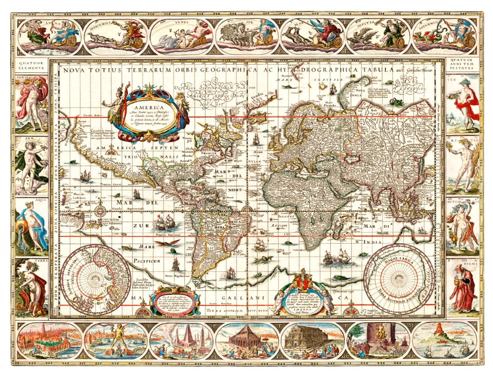
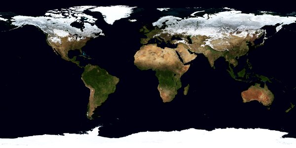
world
maps
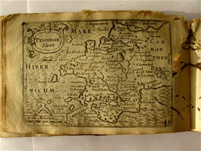
miniature speed atlas (1627) pieter van den keere
pieter van der keere
miniature speed atlas (1627) pieter van den keere
pieter van der keere
miniature speed atlas (1627) pieter van den keere
pieter van der keere
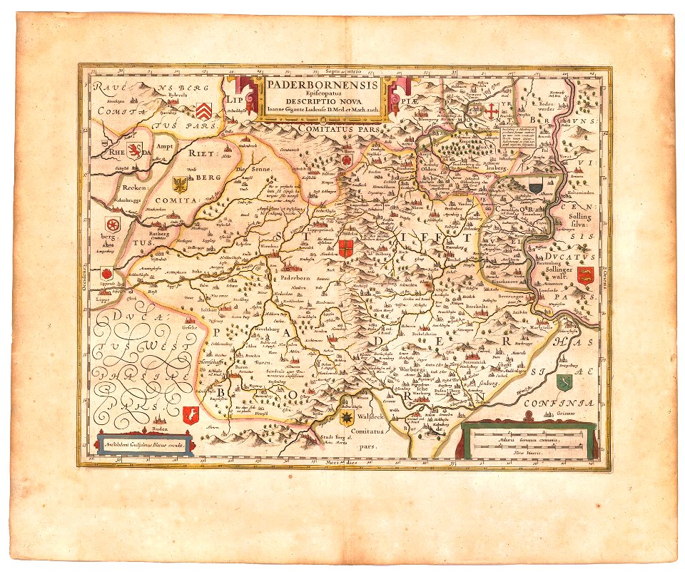
old maps of prince-bishopric of paderborn
atlas novus (blaeu)
maps of the history of bashkortostan
atlas of the russian empire (1792)
old maps of yekaterinoslav governorate
atlas of the russian empire (1792)
atlas of the russian empire (1792)
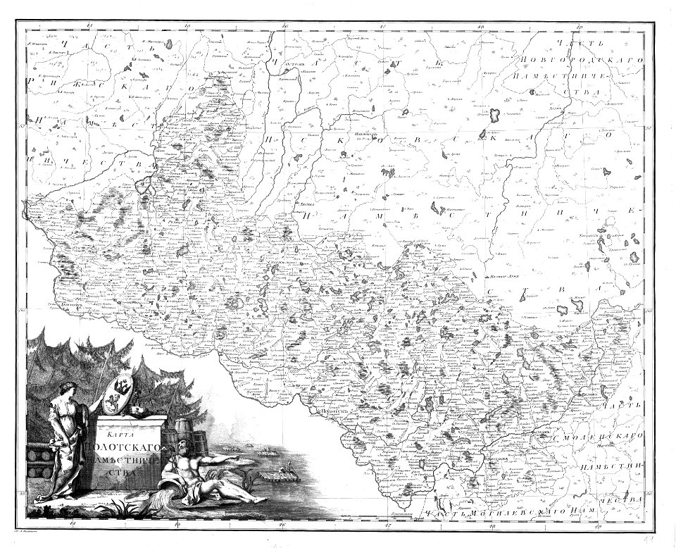
polack
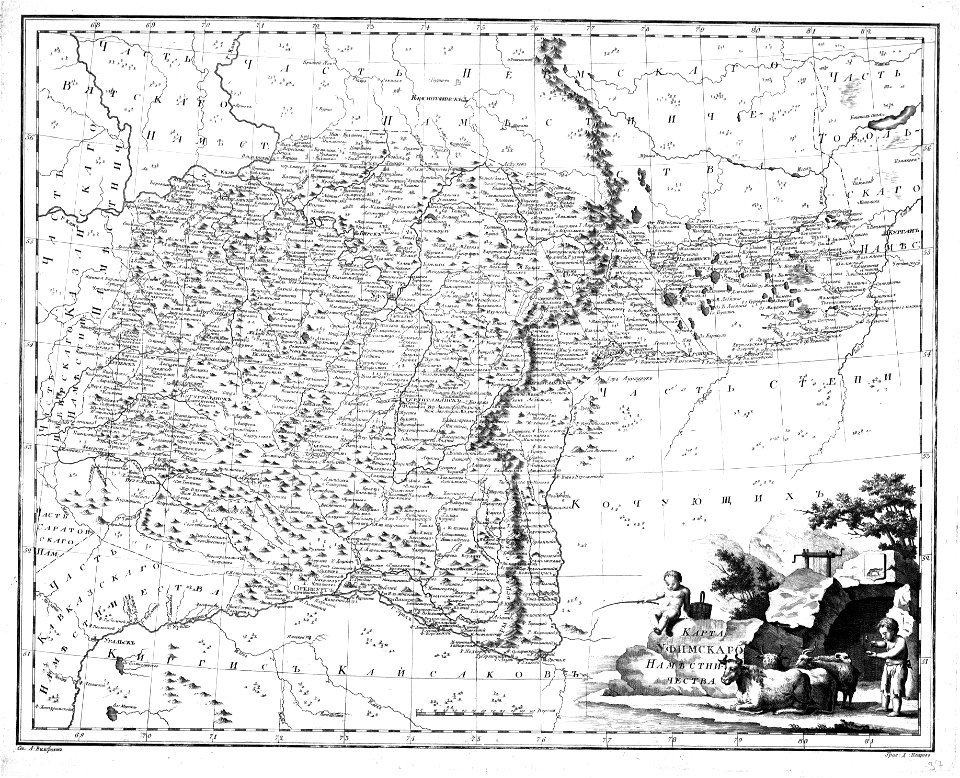
atlas of the russian empire (1800)
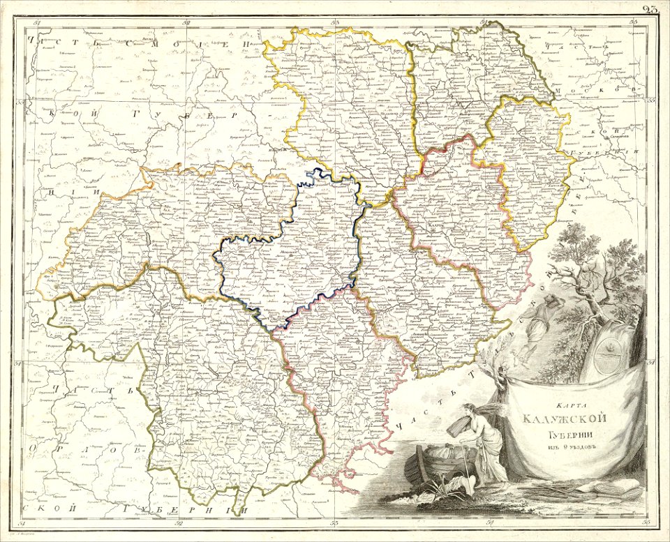
old maps of kaluga governorate
atlas of the russian empire (1800)
old maps of vyatka governorate
atlas of the russian empire (1800)
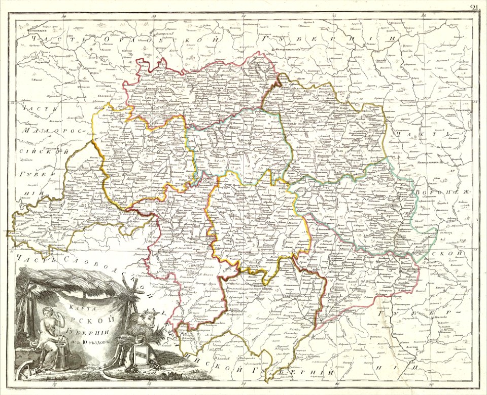
old maps of kursk governorate
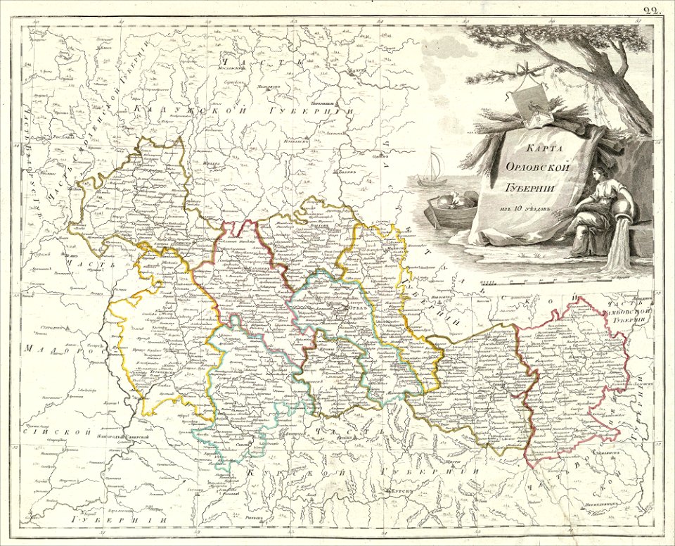
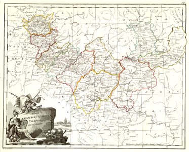
atlas of the russian empire (1800)
old maps of oryol governorate
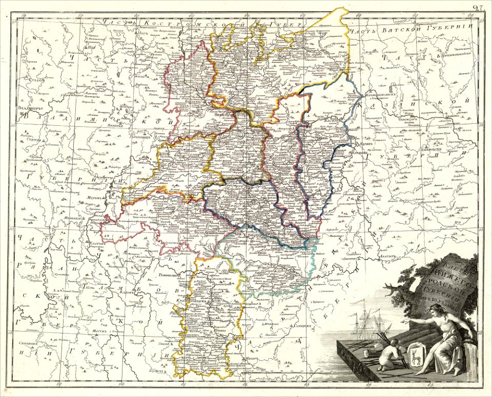
maps of nizhny novgorod governorate
atlas of the russian empire (1800)
atlas of the russian empire (1792)
old maps of kursk governorate
atlas of the russian empire (1792)
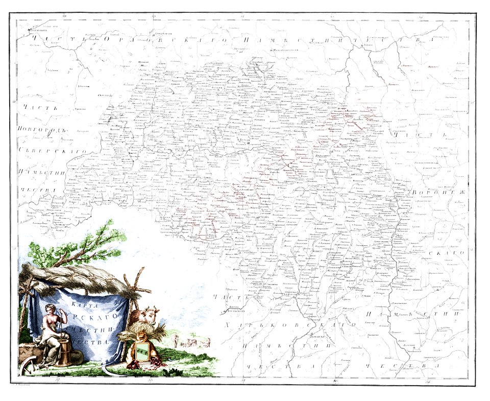
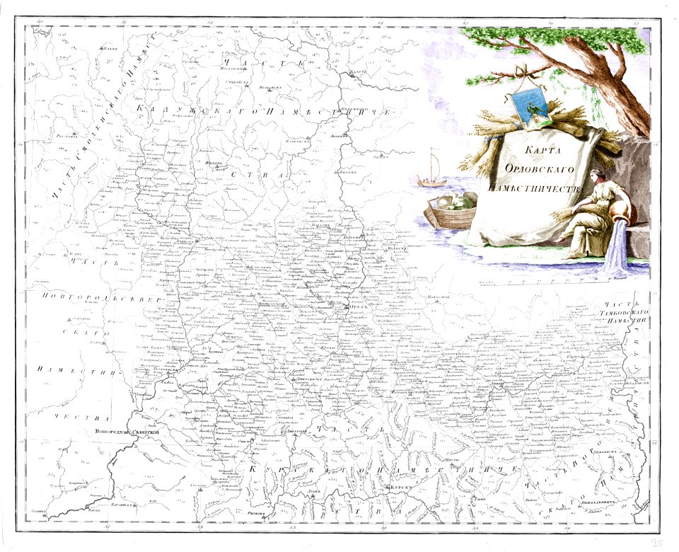
old maps of oryol governorate
atlas of the russian empire (1792)
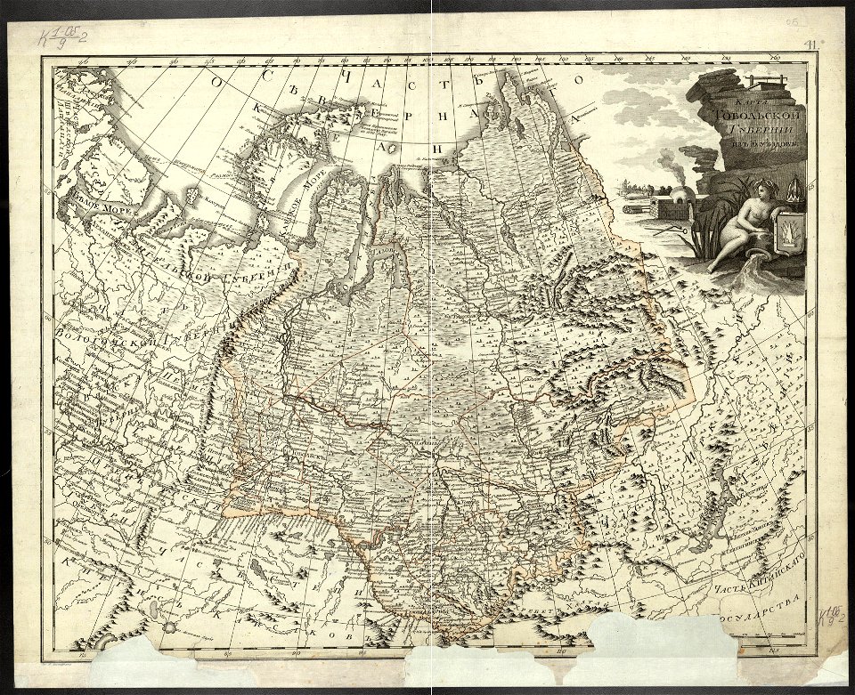
old maps of tobolsk governorate
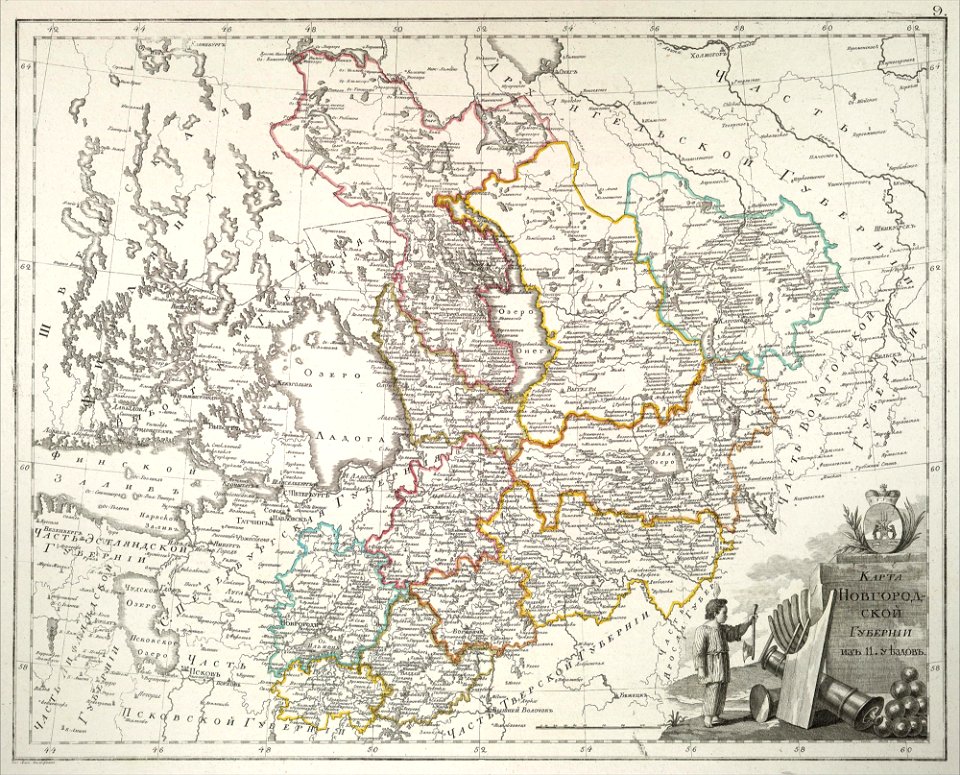
atlas of the russian empire (1800)
old maps of novgorod governorate
atlas of the russian empire (1800)
old maps of tobolsk governorate
derivatives of the coats of arms of the árpád family
historical national coats of arms of hungary
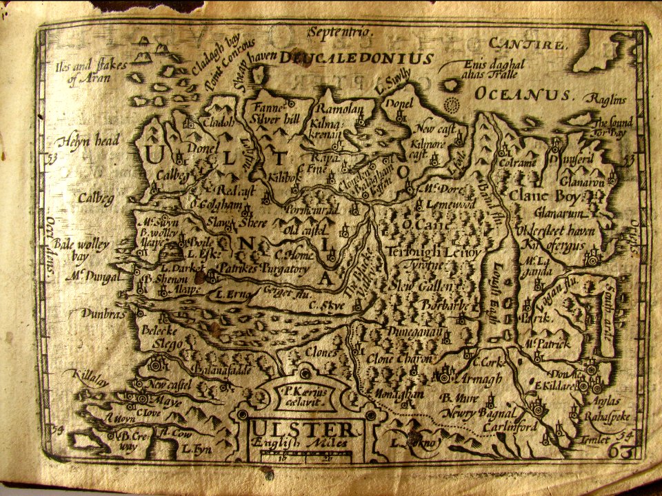
miniature speed atlas (1627) pieter van den keere
pieter van der keere
miniature speed atlas (1627) pieter van den keere
pieter van der keere
miniature speed atlas (1627) pieter van den keere
pieter van der keere
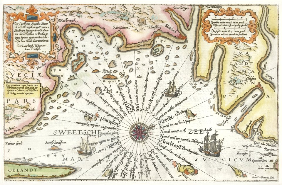
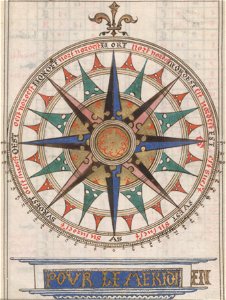
compass roses on maps
almanacs of france
old maps of saint petersburg governorate
atlas of the russian empire (1792)
ardennes (belgium)
gallia belgica
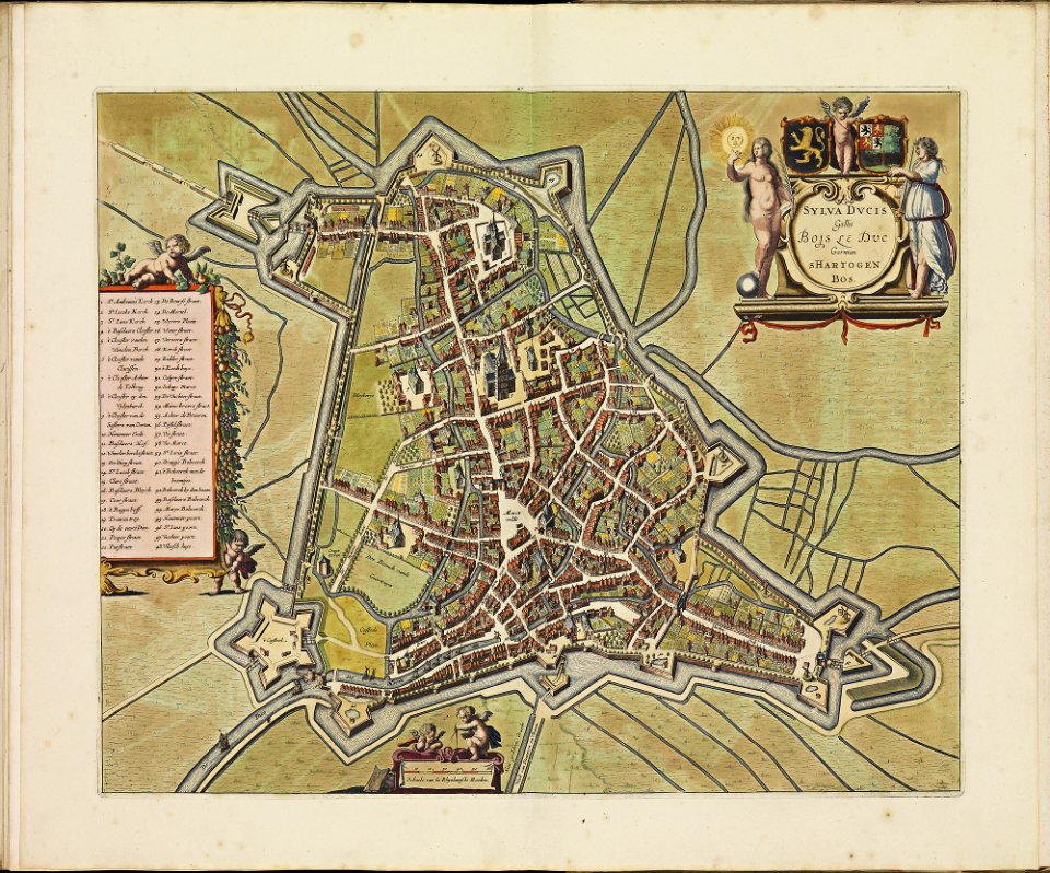
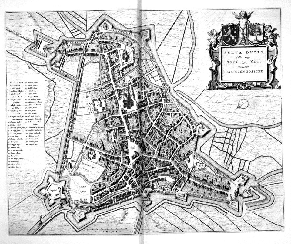
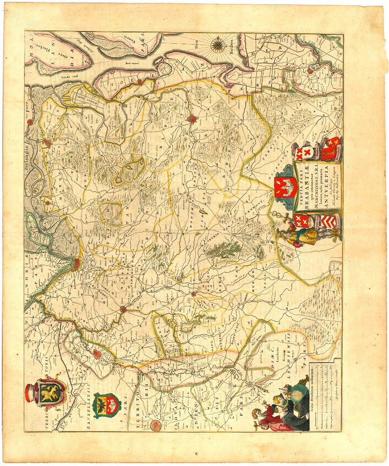
old maps of 's-hertogenbosch
atlas beudeker
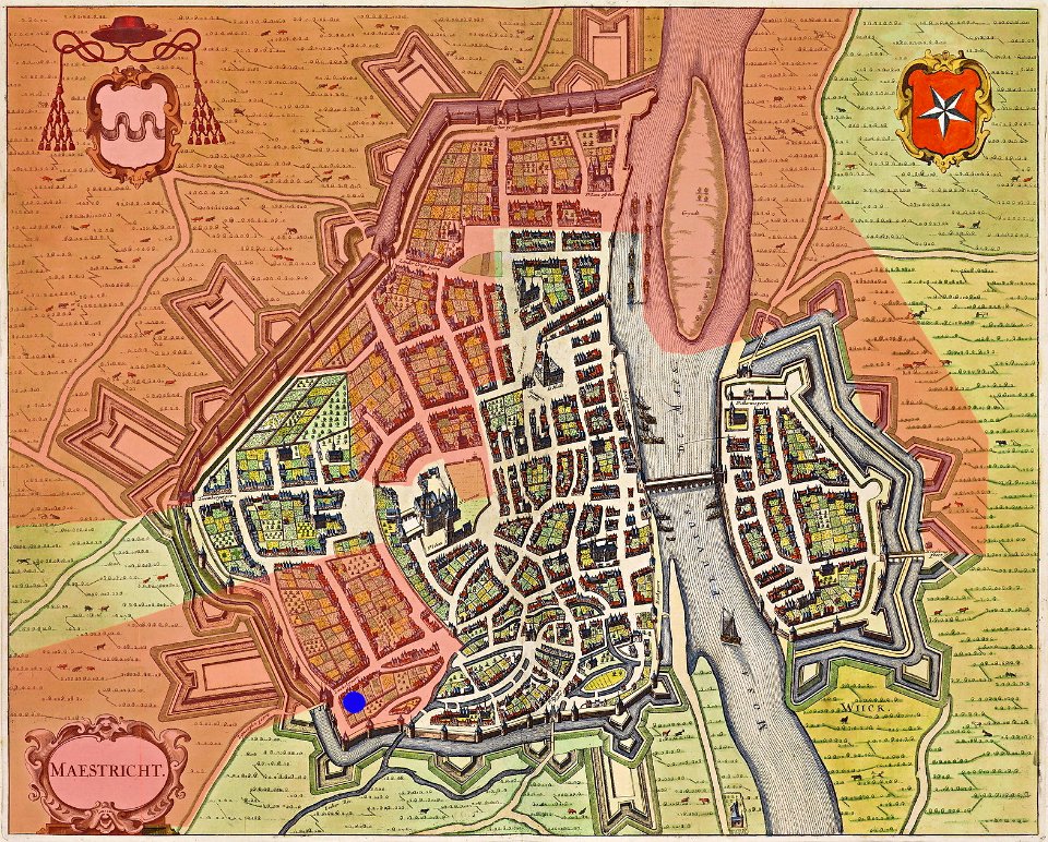
map of maastricht by willem and johannes blaeu (1649)
atlas de wit 1698
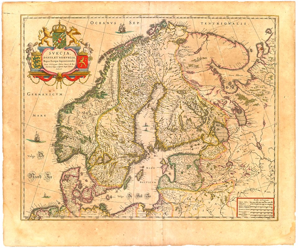
historical coats of arms of denmark
royal coats of arms of sweden
maps with cartouches
atlas van der hagen
atlas de wit 1698
frederick de wit
atlas de wit 1698
frederick de wit
old maps of the spanish empire
old maps of regions of france
maps with cartouches
covens en mortier
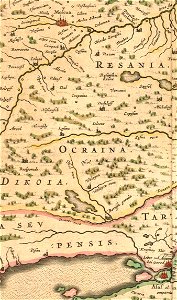
16th-century maps of the black sea
maps made in the 16th century
miniature speed atlas (1627) pieter van den keere
pieter van der keere
miniature speed atlas (1627) pieter van den keere
pieter van der keere
miniature speed atlas (1627) pieter van den keere
pieter van der keere
cartography
maps
16th-century maps of the black sea
battista agnese
coats of arms of breda
netherlands
old maps of saint petersburg governorate
atlas of the russian empire (1800)
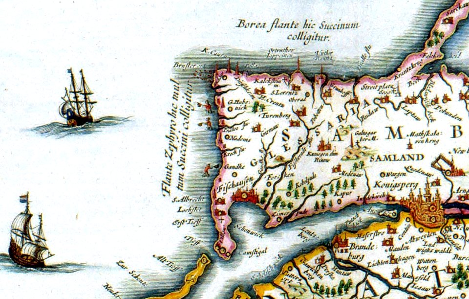
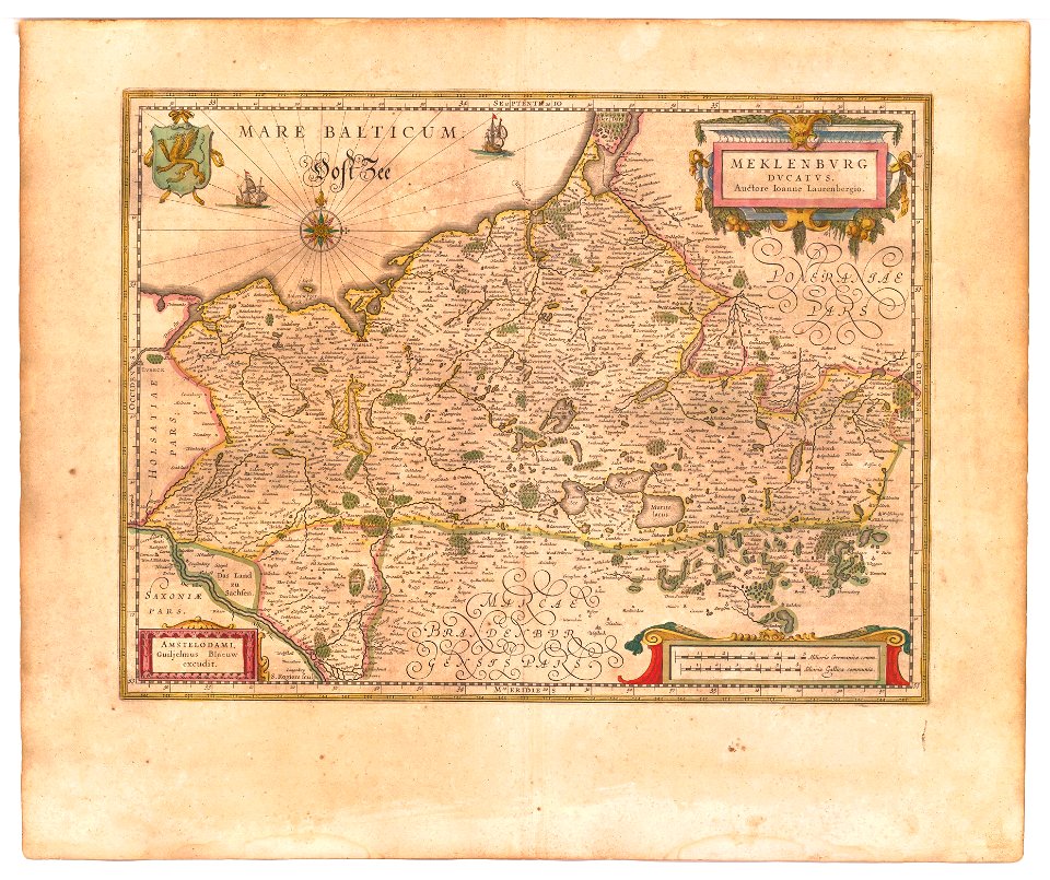
old maps of mecklenburg
atlas novus (blaeu)
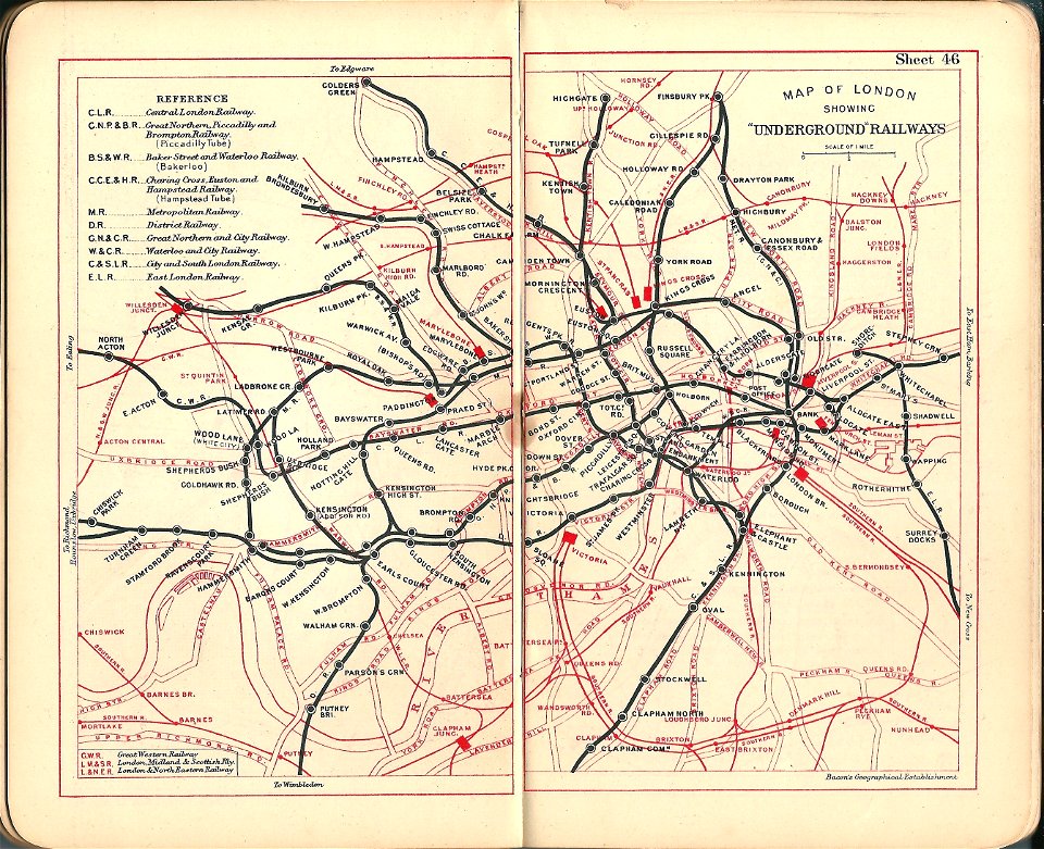
old maps of the london underground
bacon's pocket atlas of london
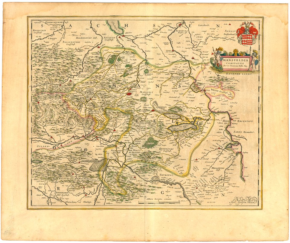
history of mansfeld land
1645 maps
atlas of the russian empire (1800)
tver governorate
atlas van der hagen
old maps of vienna
atlas de wit 1698
frederick de wit
maps
sea
atlas de wit 1698
frederick de wit
old maps of amsterdam
frederick de wit
travel
maps
atlas de wit 1698
frederick de wit
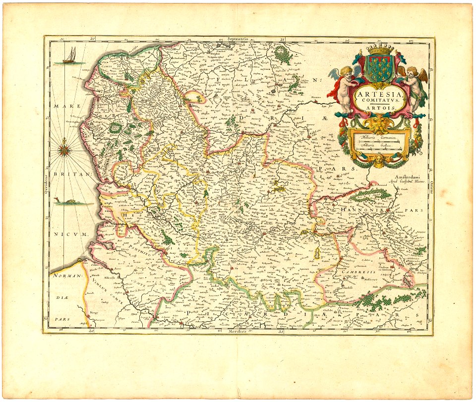
maps of territories in the burgundian circle
atlas novus (blaeu)
earth
maps
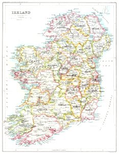
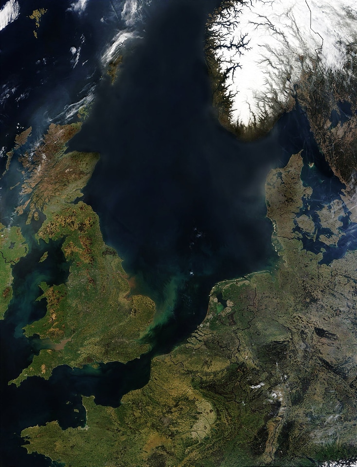
england
maps
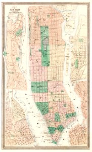
maps in the library of congress
western europe
maps in the library of congress
western europe
maps in the library of congress
western europe
maps in the library of congress
western europe
maps in the library of congress
western europe
old maps of yekaterinoslav governorate
atlas of the russian empire (1792)
maps by matthäus seutter
maps of the south shetland islands
voyage au pôle sud
old maps of the strait of magellan
voyage au pôle sud
old maps of mecklenburg
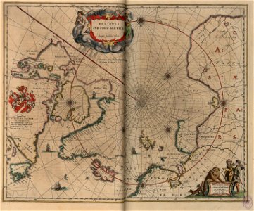
atlas maior
maps in the library of congress
western europe
maps in the library of congress
western europe
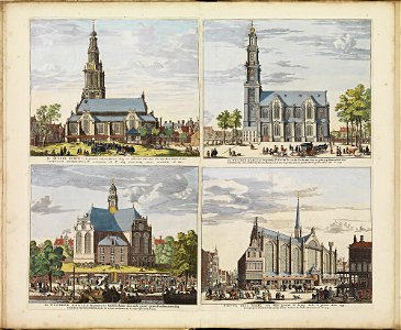
historical images of zuiderkerk (amsterdam)
frederick de wit
maps in the library of congress
western europe
maps in the library of congress
western europe
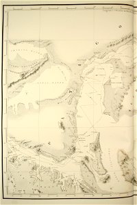
old maps of the arctic
copper engraving
maps in the library of congress
western europe
cartography
maps
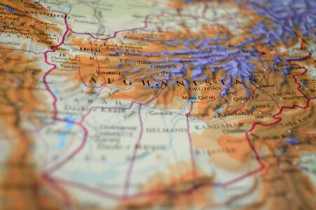
travel
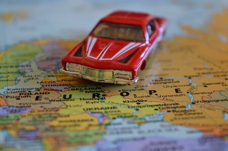
maps
vehicle
maps
old maps of the tsardom of russia
history of valuyki
maps of the south orkney islands
voyage au pôle sud
atlas of the russian empire (1800)
old maps of kharkov governorate
winter
maps
maps
sea
1662 books
1659 maps
maps of territories in the burgundian circle
atlas novus (blaeu)
miniature speed atlas (1627) pieter van den keere
pieter van der keere
architecture
city
1001 - 1100 of 7,171
Next page
/ 72